Survey data is referenced to Louisiana South State Plane Coordinates North American Datum 1983 with soundings referenced below Mean Low Gulf in U.S. Survey Feet.
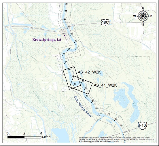
| Whiskey Bay to Krotz Springs | |||
| Survey title | Survey date | ||
| Sheet Name River Mile | XYZ | SHP | |
| Atchafalaya River | |||
| 50 Mile Point - Sh. 41 | 08/15/2014 | ||
| AS_41_W2K MM 50.0 to 52.0 | XYZ | Shape | |
| 50 Mile Point - Sh. 42 | 08/15/2014 | ||
| AS_42_W2K MM 48.0 to 50.0 | XYZ | Shape | |