Survey data is referenced to Louisiana South State Plane Coordinates North American Datum 1983 with soundings referenced below National Geodetic Vertical Datum of 1929 in U.S. Survey Feet.
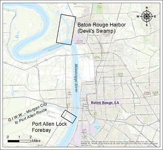
| Baton Rouge Harbor Area | |||
| Survey title | Survey date | ||
| Sheet Name Stationing | XYZ | SHP | |
| Baton Rouge Harbor (Devil's Swamp) | 04/15/2026 | ||
| BH_01_DEV 0+00 - 132+00 | XYZ | Shape | |
| Port Allen Lock Forebay | 02/24/2026 | ||
| LK_04_PAL 0+00 - 20+00 | XYZ | Shape | |